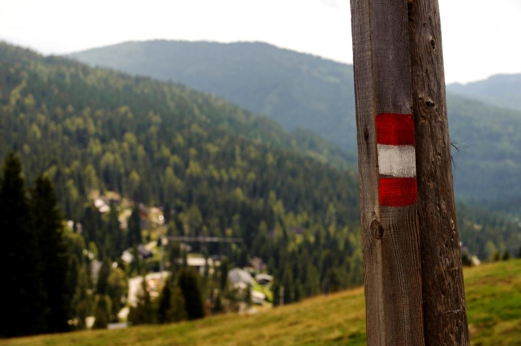
1. Big Lachtal round
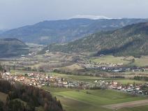
The Great Lachtal Circle is a popular hiking trail in the Lachtal region of Styria, Austria, which is especially popular with hikers and backpackers. Here is a summary of the tour:
-
Type: Circular hike (start and end point identical)
-
Distance: approx. 12–13 km
-
Elevation gain: approx. 600–800 m
-
Duration: approx. 4–5 hours (depending on pace)
-
Difficulty: Moderate
Map >>
2. Großlachtalhütte Lachtal- Roßalm-round
Starting point: Großlachtalhütte, Lachtal (approx. 1650 m above sea level)
Easy to reach by car, near the Lachtal ski resort, at the alpine hut that is also open in summer.
-
Type: Out-and-back hike (same route both ways)
-
Distance: approx. 7–10 km
-
Elevation gain: approx. 350–500 m
-
Duration: approx. 3–4 hours
-
Difficulty: Easy – moderate
Map >>
3. Pichlschloss- Steinschloss
The tour starts at the picturesque Pichlschloss castle and leads through forests and meadows to the ruins of the Steinschloss, one of the highest castles in Styria. The ruins offer a beautiful panoramic view of the Mur Valley and the surrounding mountains. The return journey takes you back to the starting point via varied forest paths.
-
Type: Circular hike (start and end point identical)
-
Distance: approx. 10–11 km
-
Elevation gain: approx. 500 m
-
Duration: approx. 3.5–4 hours
-
Difficulty: Moderate
Map >>
4. Lachtal and Klosterneuburgerhütte
This pleasant, family-friendly hike starts in the Lachtal ski area and follows well-marked, gentle trails to the Klosterneuburgerhütte mountain hut. The hut offers beautiful views of the Lachtal valley and the surrounding mountains. In summer, the trail leads through alpine meadows full of cows, and in winter, it can be covered with snowshoes or cross-country skis.
-
Type: Out-and-back hike (same route both ways)
-
Distance: approx. 6–7 km
-
Elevation gain: approx. 250–300 m
-
Duration: approx. 2–2.5 hours
-
Difficulty: Easy
Map >>
5. St. Lambrecht-Kalkberg-round
The tour starts in the monastery village of St. Lambrecht and leads through varied landscapes – forests, meadows, mountain paths – to the top of the Kalkberg. At the top there is a cross and a lookout point with a beautiful panorama towards the Gurktali Alps and the Zirbitzkogel. The tour returns to the village on a circular route, making it ideal as a medium-length circular tour.
-
Type: Circular hike (start and end point identical)
-
Distance: approx. 9–10 km
-
Elevation gain: approx. 450–500 m
-
Duration: approx. 3–4 hours
-
Difficulty: Moderate
Map >>
6. St. Oswald-Rosenkogel-Round
The tour starts in the small mountain village of St. Oswald bei Zeiring and leads through varied terrain – forests, fields, and sometimes steep sections – to the summit of the Rosenkogel. At the summit, a cross and a viewing platform await hikers, from which, on clear days, there is a stunning view of the Seckauer and Rottenmanner Tauern. The tour follows the same route there and back, on well-marked paths.
-
Type: Out-and-back hike (same route both ways)
-
Distance: approx. 8–9 km
-
Elevation gain: approx. 500 m
-
Duration: approx. 3–3.5 hours
-
Difficulty: Moderate
Map >>
ZIRBENLAND IN STYRIA
A variety of marked pathways, crystal clear mountain lakes and magnificent view from Styria’s highest alpine mountain house on Zirbitzkogel at an altitude of 2397 m.
The Zirbenland is the "green heart" of Styria with district's capital Judenburg. It awaits all nature lovers with a wide range of freetime activities, culinary delights in a picturesque environment.